Travelblog LA#13: Hike from Xela to Lake Atitlan (With Quetzaltrekkers) – Guatemala

25th – 29th June, 2023


This hike was not part of my original itinerary – or even something that I knew was a thing, as I don’t recall previously reading about it in places such as the Lonely Planet – but a last-minute decision inspired by a leaflet I saw in the hostel I was staying at in Antigua, advertising a three-day hike from Quetzaltenango to Lake Atitlan. When I did some reading online, I discovered that ‘Quetzaltrekkers’ – the lovely outfit running this venture – not only had glowing reviews but were also a non-profit organisation run by volunteers raising money to fund a school and a children’s home in Guatemala.

After paying my deposit online, I caught a bus to Quetzaltenango, a city also known as ‘Xela’, which is an abbreviation of the name of the original Quiché settlement. It was somewhere on my radar as a potential place to visit when I first read about Guatemala but crossed it off when making the final draft of my itinerary. Now, I had found myself here and had a day to explore before the trek began.

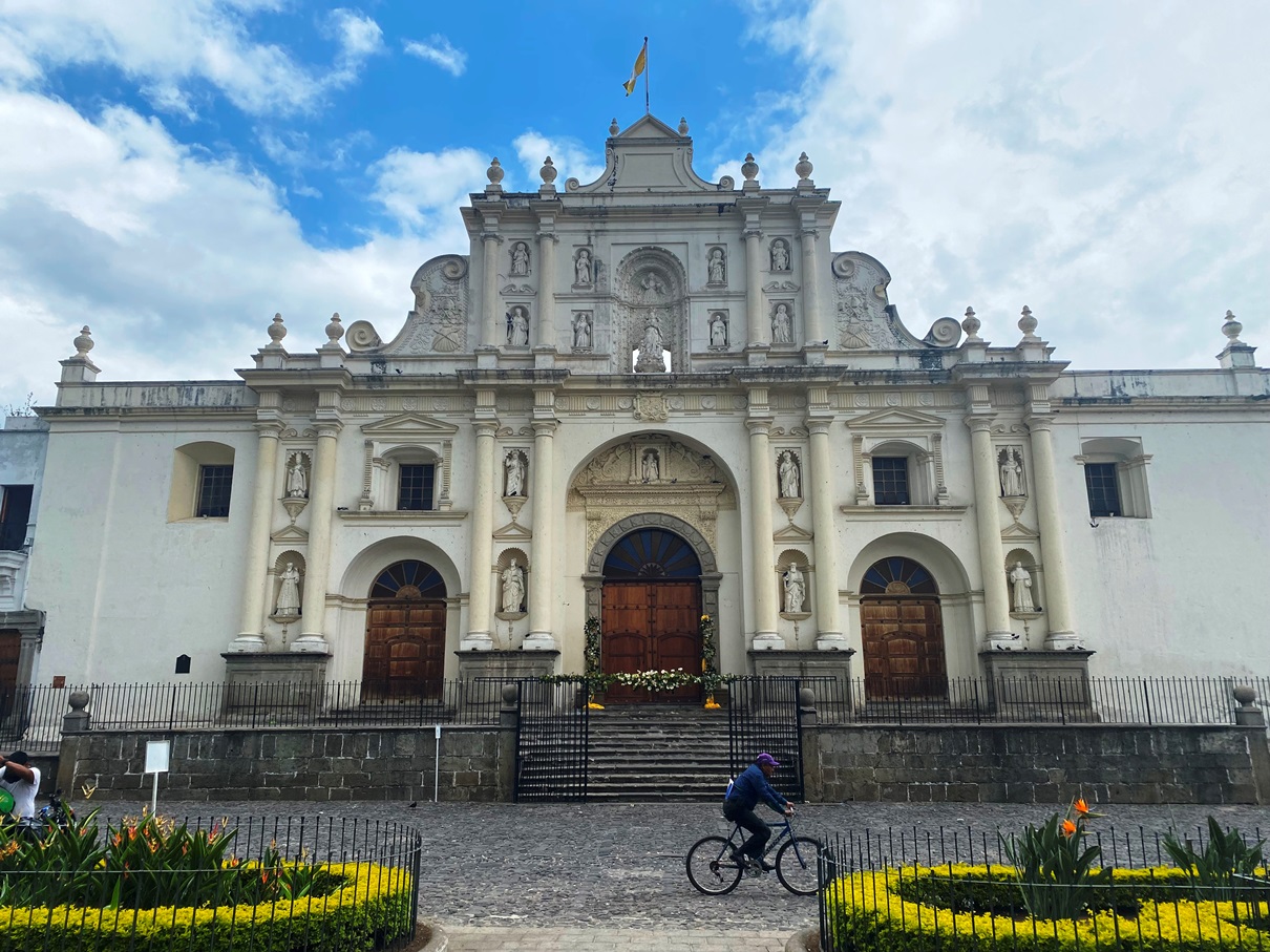
It is admittedly not the prettiest place in the world. The plaza is a pleasant place to go for a little stroll and is home to a cathedral with a sixteenth-century façade, but other than that, it is a city that tourists primarily use as a launching pad for day trips to nearby volcanoes, hot springs, and Quiché villages. You don’t see many foreigners here, and most of the ones you do encounter are volunteers, researchers, or NGOs working on various projects to help enrich the area. I think it is always good to visit a few places such as this if you are a long-term traveller – who wants to properly ‘know’ a country by the end of your time somewhere at least – as if you only hop between tourist hotspots and notable attractions during your time in a country, you will leave with a very warped and sanitised idea of what it is like.

That evening the other trekkers and I attended a meeting at the Quetzaltrekkers office so that we could go through the itinerary and those who needed it could borrow from their cache of communal equipment. This wasn’t something I required, but if you happen to be reading this and are a traveller that lacks gear: it is possible to borrow just about everything needed for this trek. I would still recommend you bring some of your own if you do possess it though, as some of it is – whilst fully functional – a bit old. This is not meant as a criticism of Quetzaltrekkers – as their trek is more than reasonably priced, and they offer their communal equipment to hikers for free – but I want those who can feasibly bring their gear to know that you might be more comfortable using it. My equipment is modern and compact, so I was carrying a lighter load than most other hikers.

The following morning, I woke up at 5:30 am. By strange coincidence (or perhaps just a lack of foreigners visiting in Xela), one of my fellow hikers was staying in the same dormitory as me in Kasa Kiwi Hostel, so we caught an Uber to Quetzaltrekkers together. The other hikers consisted of a French family of four, two Guatemalan boys from the school that Quetzaltrekkers help to fund, and our guides: Jackie and Mathieu.

We started by walking to one of Xela’s bus stations to catch a chicken bus to a village called Xecam, and within minutes, we were climbing up a steep trail into a cloud forest.

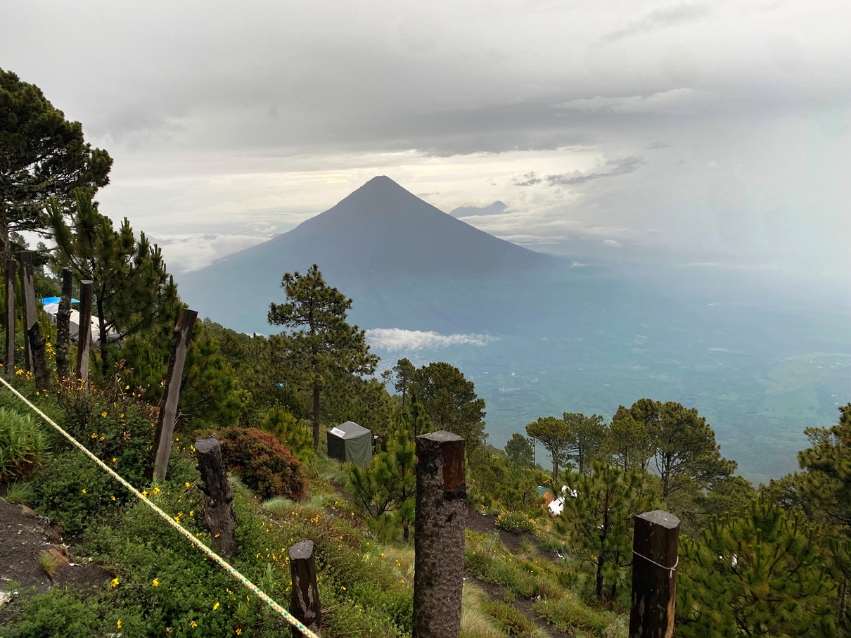
We were blessed with clear enough skies to get a good view of the surrounding area at one of the viewpoints during the ascent. From there, we could see Xela and many of the volcanoes surrounding it, including the infamous Santa María whose 1902 eruption devastated the area and killed thousands of people. It is still erupting to this day in the form of a lava dome complex that needs monitoring.

After that, we continued climbing up the mountain, and a dense fog descended upon us. In one way, this was fortunate, as the lack of direct sunlight made for comfortable hiking, but it also meant that once we reached the summit of the highest point of our trek – a place where on a clear day one can see even as far as Lake Atitlan – the fog was all we could see.
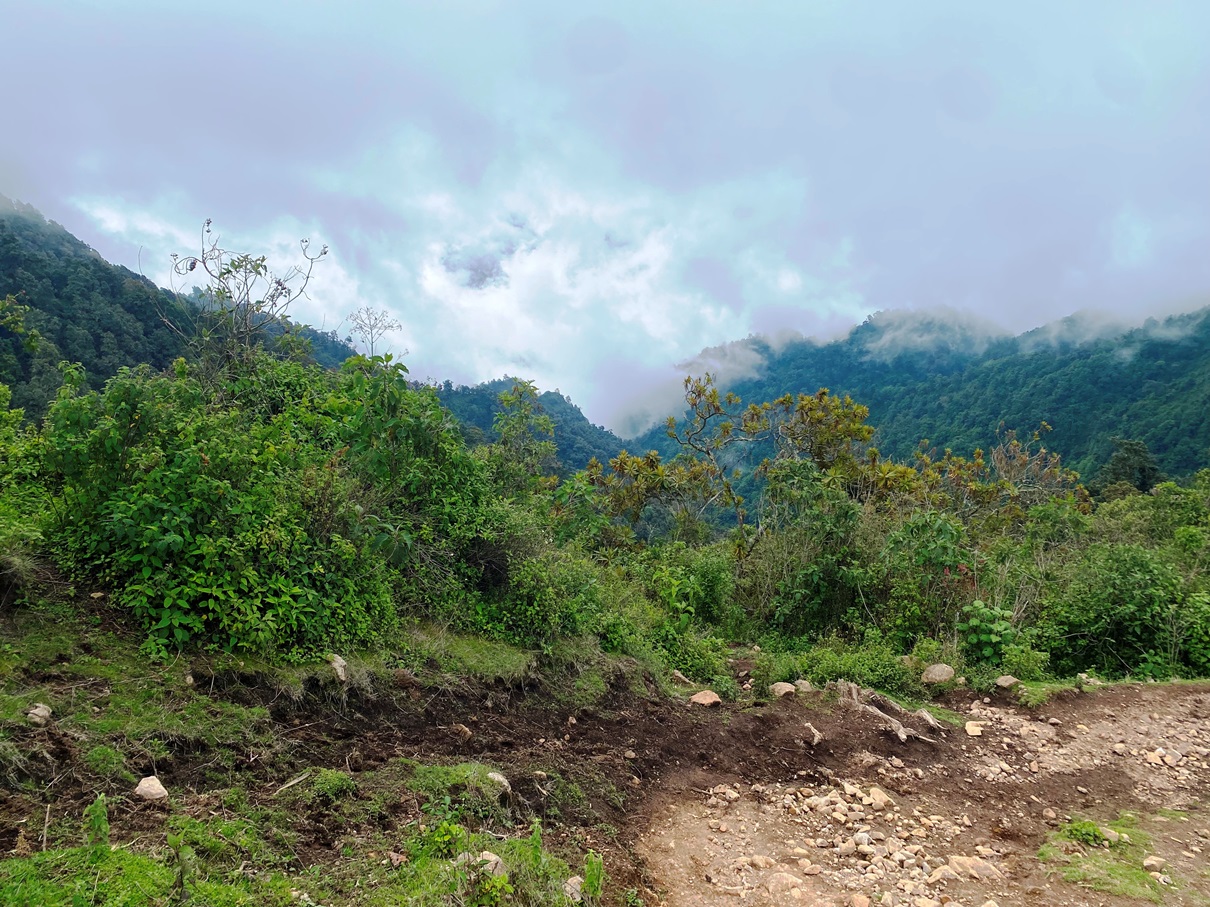
The sun did briefly appear again when we reached Nuevo Xetinamit – a village surrounded by very scenic farmlands.
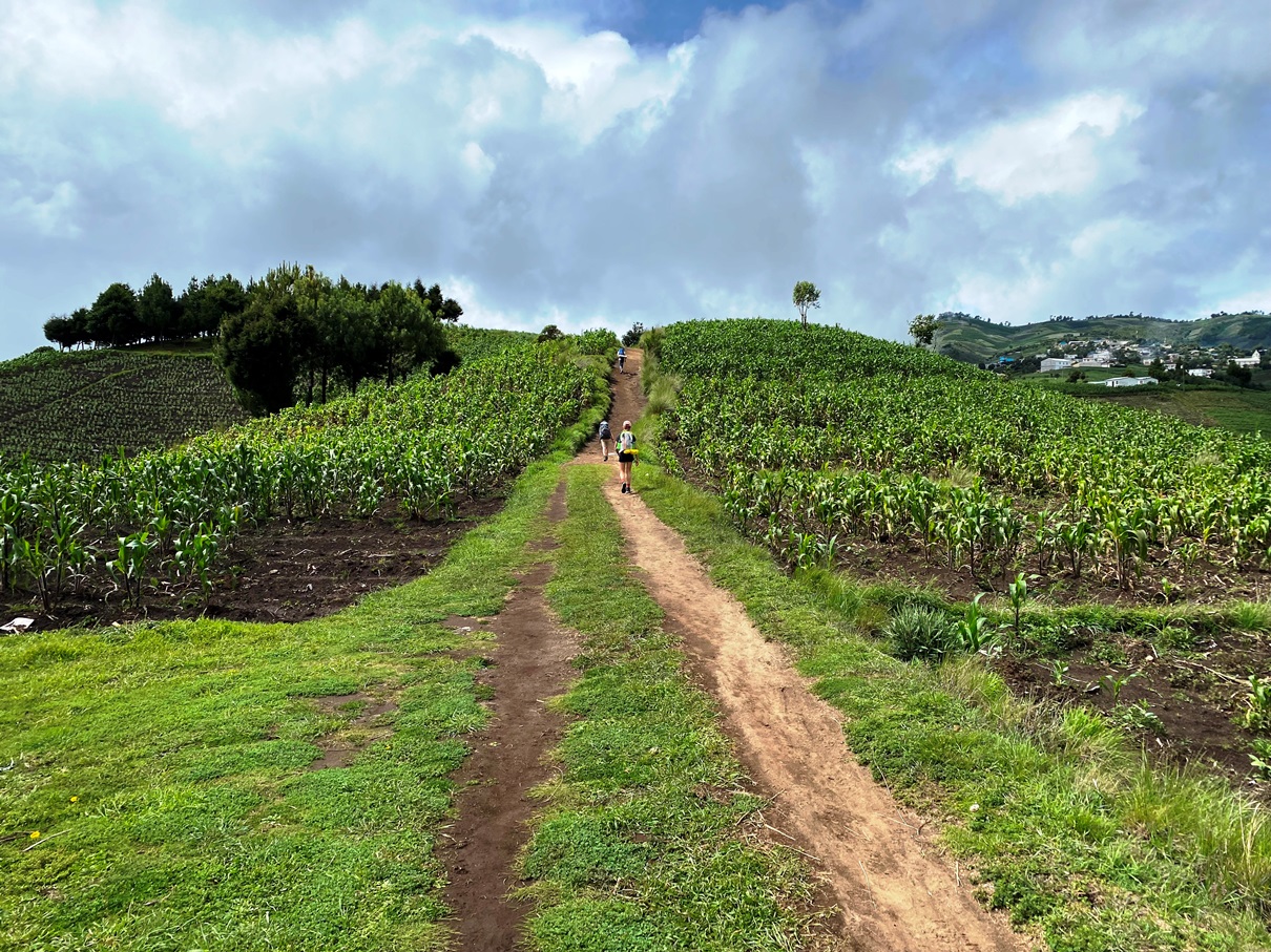
After that, we descended into a cloud forest again, and the mist returned. We hiked to Santa Catarina Ixtahuacan, where we stayed our first night.
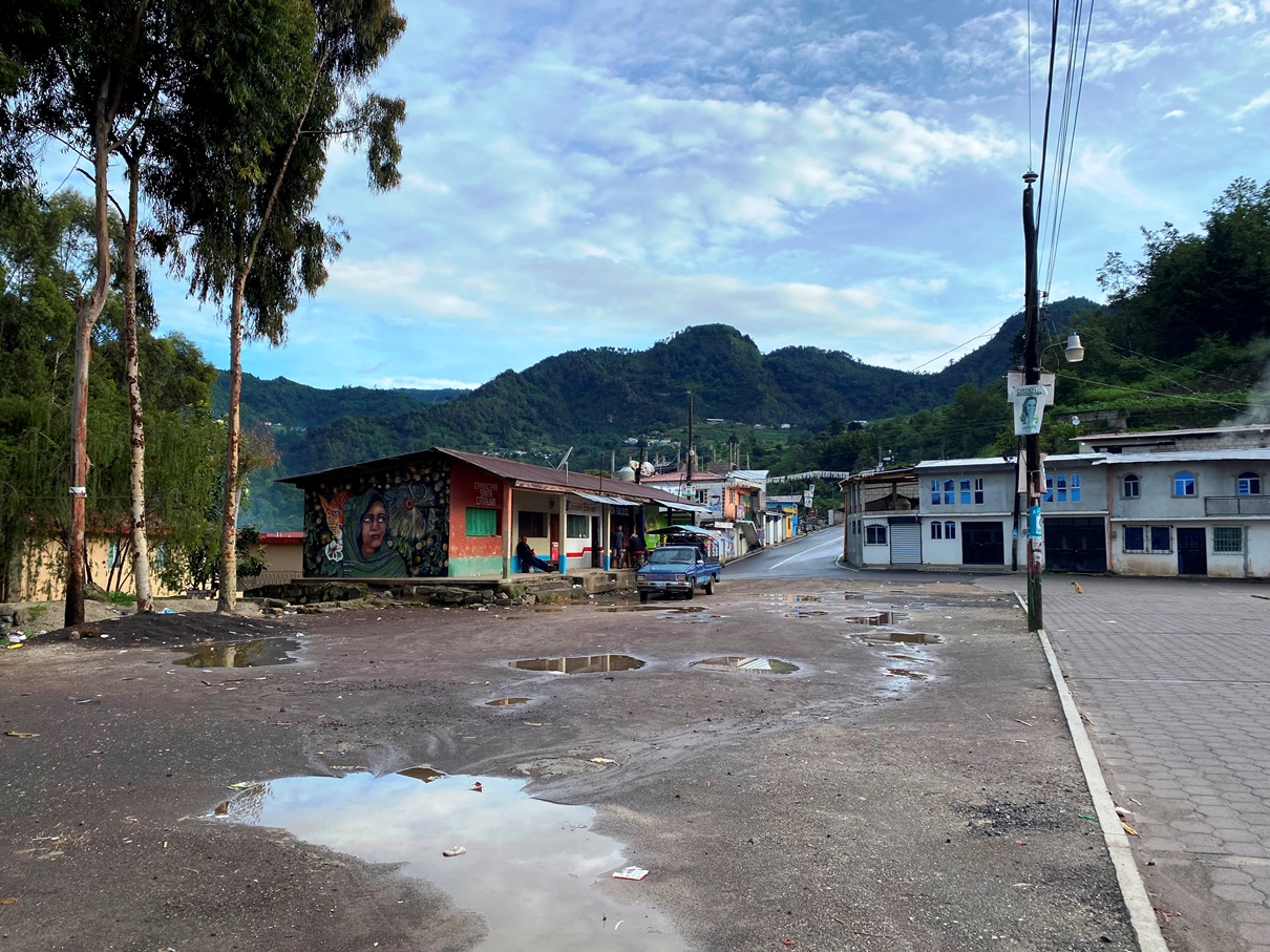
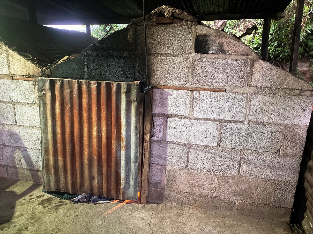
After setting up our sleeping mats and bags on the floor of a homestay, we each got to get inside a temescal in pairs to wash. Within was a small fire burning and two vats of water – one scalding hot and the other cold – and a small bucket on the floor where one can mix the two kinds of water (using a pail) until you get the right temperature. There wasn’t much space, so I sat on a bench as my companion washed himself, and the wait was similar to being in a sauna. By the time my turn came, I was covered in sweat, and I washed and rinsed myself quickly before going outside to dry myself off.
It rained all night, but I slept well and woke up feeling refreshed. After breakfast, we were back on the road again.

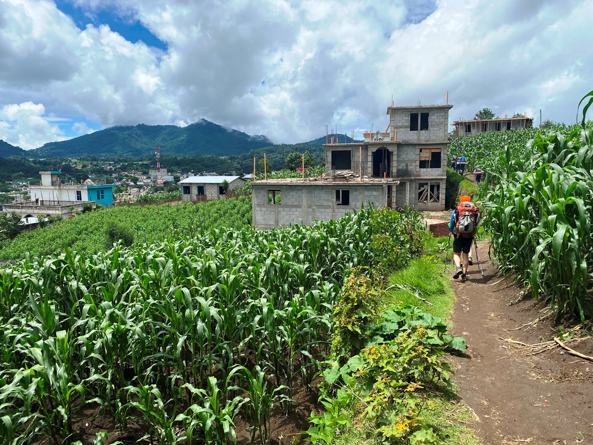
This day was better than the first, not just because of the weather but also the scenery. I did enjoy the cloud forests on the first day, but I have hiked through plenty of those before, and what made this trek stand out from all the others I have done over the years is that you get to see rural life in the Quiché region of Guatemala. During the morning, the landscape was quite dramatic, and we passed through a series of rocky karsts dotted with farmlands.

Before lunchtime, we reached the village of Tzucubal which – like most of the places we visited on this trek – is not listed on Google Maps but was surprisingly big.
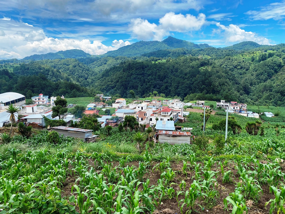
We stopped for a while and ate ice cream whilst our guides told us about its people and how many families in this area resort to sending members to the United States to work so that they can send money back to them.
This is a significant investment that will often take several years to save up for and comes at high risk, not just in terms of safety but also because the ‘coyotes’ – the people who smuggle immigrants across the Mexican border – do not give refunds if they fail. It goes to show just how desperate these people are if they are willing to work so hard and take such a gamble for a mere chance to better themselves. Our guides also informed us about some of the larger contexts by telling us about Guatemala’s socio-economic history and why its people are so poor. I do not have the space to go into the details here, but I will say that neo-colonialism from the United States and other first-world countries has played a huge part, and we should all educate ourselves on it. In my last blog, I made some criticisms about Guatemala’s government being weak and not doing enough to help better the circumstances of its population, and this is true, but I should also clarify now one of the reasons for this. US-based corporations such as the United Fruit Company appropriated much of Guatemala’s lands and infrastructure in the early 20th century, and establishments such as the CIA have had a history of orchestrating coups whenever someone has tried to correct this and return Guatemalan lands back to its people.

After we left Tzucubal, we passed through more hills of gorgeous farmlands before plunging into a valley where we had to make several river crossings by either removing our shoes or skipping between stones. As we did so, we began to hear thunder roiling in the distance, and clouds appeared, so we quickened our pace, climbing up a steep hill and eventually seeing something that we had not glimpsed for quite some time; a concrete road.

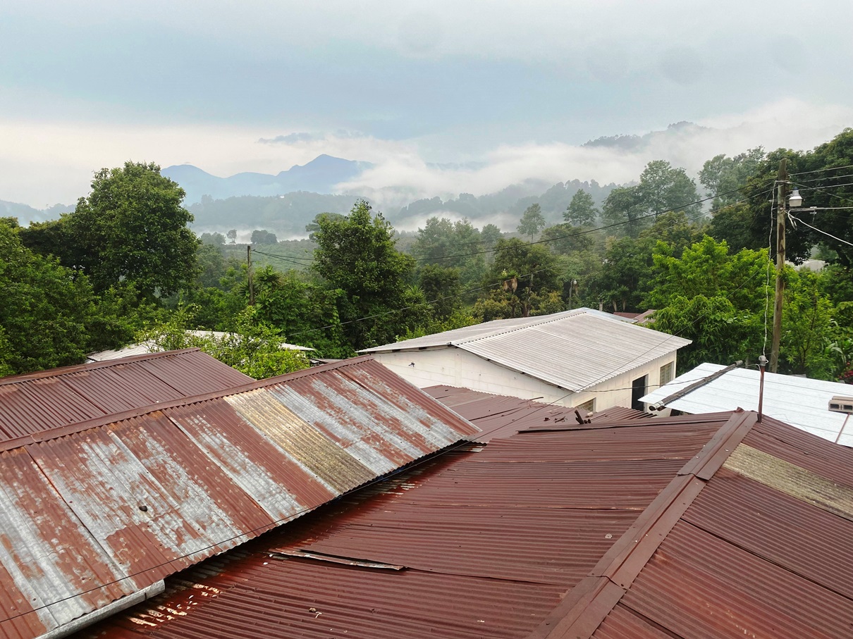
It was only a ten-minute walk from there to our next homestay, Casa Don Pedro, in the hamlet of Xiprian, just outside of Santa Clara. Just as we arrived, the storm reached us, so we hurried inside. We were now just a stone’s throw away from Lake Atitlan.

Pedro and his family cooked a fantastic meal for us that included tamales, and we sat around a fire afterwards. I didn’t stay up too late as we were due to rise at 3:30 am to reach Nariz Del Indio in time for sunrise.
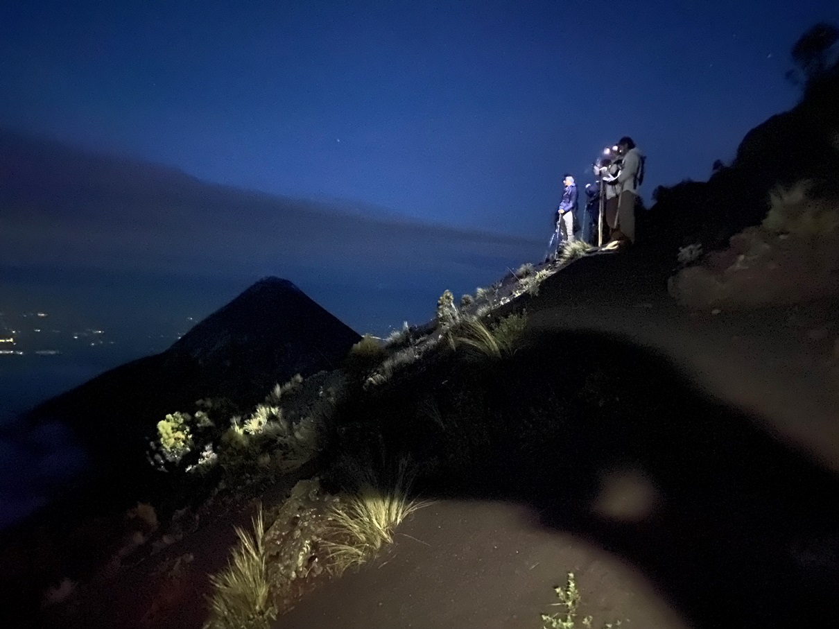
Despite the early hour, this walk was surprisingly easy as we were already close to the top of the mountain. The only gruelling things about it were the early hour and all the dogs that came out to bark at us as we made our way down country lanes.

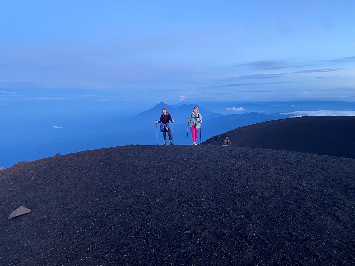
The spot that Quetzaltrekkers use to watch the sunrise is a different place to most people, located on some private land a little to the west of the summit.

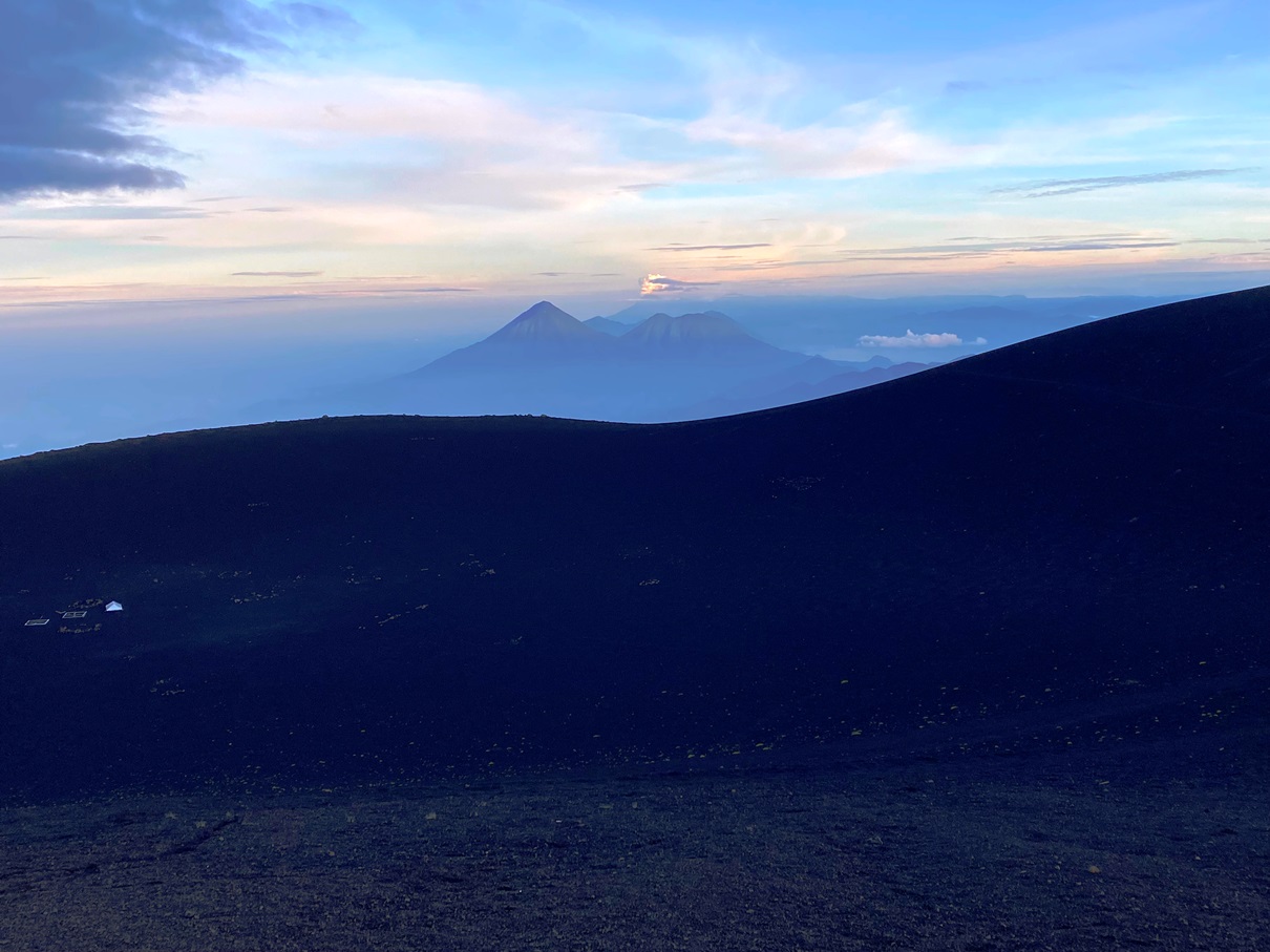
And as the sun gradually rose, Jackie and Mathieu prepared a little breakfast picnic for us, including hot water for drinks.

Those of you who have heard about the safety issues around this part of Lake Atitlan will also be interested to hear that we had a pair of policemen present. For those who don’t know: there has been an ongoing issue during the last few years concerning gringos being mugged on this hill and the nearby San Pedro Volcano. I can’t help but suspect that the locals weren’t in too much of a rush to resolve the issue because it forced people to hire guides for safety reasons (for trails that frankly shouldn’t need them). There has also been an ongoing problem on the Nariz Del Indio because the communities on both sides were trying to charge foreigners conflicting ‘entry fees’ from each side. If I am honest, when I read about all of this stuff online, it almost put me off coming – not just because of safety reasons but also out of principle – but it seems that they are starting to make efforts to turn this into a more welcoming place for foreigners.

We stayed there for a couple of hours, as the sun gradually rose and the lake brightened and then began to make our way down to the town of San Juan down a steep trail. The police escorted us during this too.

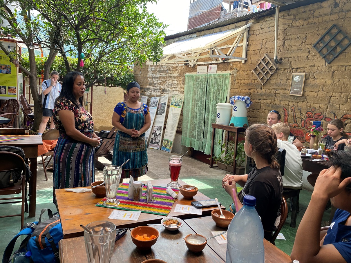
Once we reached San Juan, we stopped at a café called Alma De Colors for a quick drink. It is run by disabled people who would otherwise have few opportunities or much social support in Guatemala. For us, it was just a flying visit, but I did see some tasty food going out to some of the other tables, it had a lovely atmosphere, and there is also a craft shop, so it is somewhere to check out if you happen to be passing through.
And then after that, we finally caught a ride to San Pedro on the back of a truck before having our final meal at a restaurant overlooking the lake.

Overall I am very pleased with my experience with Quetzaltrekkers and would encourage others to consider them. Another company does offer a similar hike and does so at a slightly lower price. I obviously can’t judge theirs having not done it myself, but I do know that they are profit-based, their reviews aren’t as good, and their itinerary takes a different route and doesn’t involve some of the things such as the temescal, which made this experience more special to me. When it comes to investing in something as long as a three-day trek, paying that bit extra to ensure that everything is a bit more rewarding is worth it for me, and with Quetzaltrekkers you also know that much of your money will be going to a good cause. Click here for more information about them.


Also, click here for more photos from this amazing hike.


Travelblog LA#12: Antigua & Acatenango Volcano – Guatemala

19th – 25th June, 2023


I arrived in Guatemala at 9:30 in the morning, and after passing through immigration did something that was a bit out of character for me and forsook the cheap public transport option in favour of a shuttle service. Those of you who follow me regularly will know that I am a very budget-conscious traveller, but Guatemala City has a reputation for being dangerous and there have also been incidents of the local ‘chicken buses’ – the slow, open-air, rickety buses that trawl through much of Central America – being hijacked by gangs who rob the passengers by gunpoint. As usual, the chances of this happening to you personally are slim, but it is still commonplace enough for me not to take any chances on this occasion.

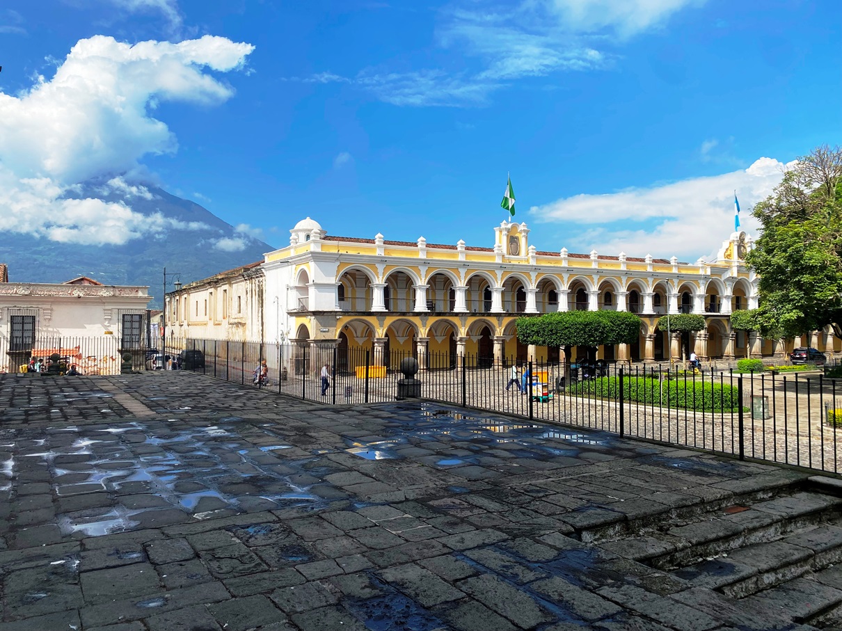
I spent my first few days in Antigua, its former capital and a UNESCO heritage site. It was just an hour away from the airport, and its cobbled roads made the last few minutes of the journey a very bumpy affair. My hostel was on the outskirts of the old town by the ruins of a church and – despite how excited I was to be there – I waited until the following day to start exploring, as I was exhausted after my flight from Colombia (one that had left in the early hours of the morning and entailed a layover in Panama).

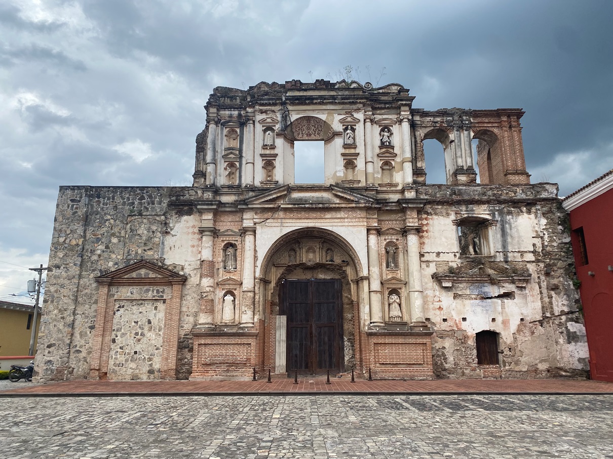
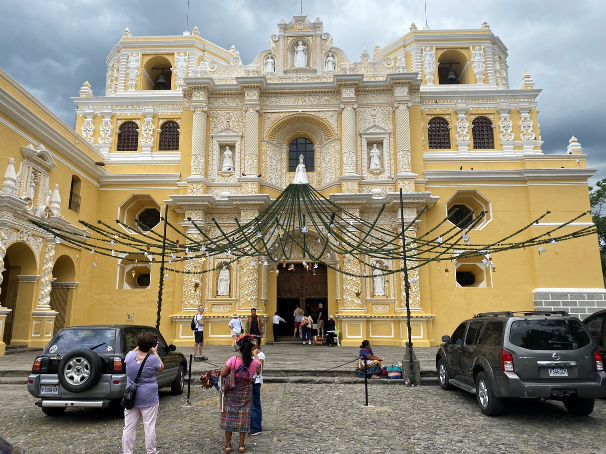
I have visited many an old town during my travels, but Antigua is one that made an impression on me. Despite having a completely different ambience and architecture, it reminded me of Kathmandu because you can find all kinds of interesting things to see by wandering aimlessly. Whenever I was on my way to a place I wanted to tick off my list, I kept coming across ruins of churches and other buildings; remnants from when the survivors abandoned this place in favour of the new capital after a series of devastating earthquakes in the eighteenth century. An event that simultaneously destroyed the city but left what remained frozen in time. This place was never fully abandoned, and those who did stay rebuilt around the ruins using a similar baroque style, unintentionally predestining it to once again rise as UNESCO world heritage site centuries later.

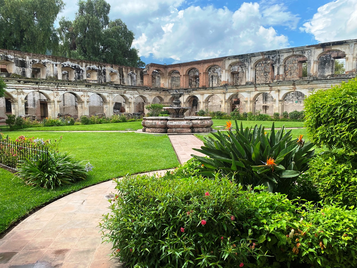
I won’t bore you by listing all the places I visited, but if I were to name some highlights from the days I spent here, two in particular spring to mind. Firstly, the Convento de Santa Clara: an old monastery whose inner courtyard has been partially restored and turned into gardens.

The walls of the main church – including its sacristy, upper choir, and altar – still stand, and its outer façade still has its original stucco moulding.

And another highlight was the Museo Nacional de Arte de Guatemala (MUNAG), which is free to enter, has an audio guide, and places a particular emphasis on the history of art. I was pleased to see that the indigenous population of Guatemala is well represented, and it is also home to pre-Colombian artefacts.

But besides these two things, I would urge those visiting Antigua to simply wander. And do so not just around the areas surrounding the plaza but also around its outskirts, as there are fewer tourists, and you will glimpse a different side to Guatemala. 

Another good thing about doing this is that the locals on the outskirts seem less jaded about tourists. I got the impression that some of the churches closer to the centre of Antigua have become a bit fed up with the waves of gringos wandering in and out. There was one in particular that I never managed to get inside because they had people at the door controlling who could come in or out. The first time I tried to enter, they told me that I couldn’t because I was wearing shorts, so the following morning I wore trousers, but then they had another reason. I eventually realised that these were excuses and they just don’t want gringos there. I am not sure how I feel about this. I understand how it could become annoying when your place of worship is a tourist attraction, and some of the less-sensitive tourists can be very obnoxious when they stomp around waving their cameras. On the other hand, most gringos are either Christian or come from Christian backgrounds, so such gatekeeping seems a bit weird. It must be frustrating for people of a pale complexion who legitimately want to pray, but I am not one of them, so I don’t feel I can weigh in too heavily here. I can say that I visited lots of churches on the outskirts of Antigua, and when I did, I was respectful, and locals didn’t seem to mind me. Many of them were very welcoming.

Antigua sits within the Motagua Fault Zone that cuts through Guatemala. It is the reason that it has suffered so many natural disasters and is also surrounded by some spectacular volcanoes, many of which can be summited, including one called Acatenango.

I initially intended to hike there under my own steam – as I possess camping gear and it is possible to – but when I looked into the logistics, they seemed complicated and the tours offered by Antigua’s various companies also happen to be very reasonably priced. Eventually, I decided it was worth paying that little extra to save myself the inconvenience of fiddling with public transport and carrying all my camping gear up a mountain. 

So, after doing some research online, I eventually settled upon CA Travelers as they were simultaneously one of the cheapest and had some of the best reviews. A driver picked me up early in the morning from my hostel and first drove us to their office – to meet our guides and access any equipment we might need – and then we were driven to a village called La Soledad.

We started on the trail almost immediately, and it was a steep climb up a path of volcanic soil. We were ascending over fifteen hundred meters in altitude that day, but the sky was cloudy, the air was blessedly cool, and it wasn’t raining. Perfect hiking weather. We were told by our guides that we were lucky.

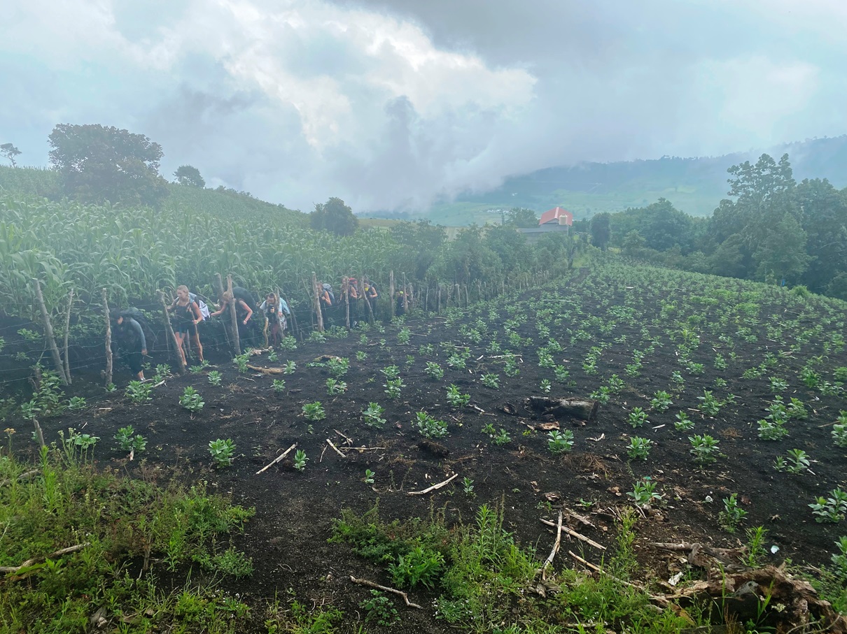
The first hour or so was through farmlands consisting mostly of cornfields, but as we rose higher, we reached the cloud forests, where the fog became so thick during some moments that we could barely see more than a few dozen feet before us.

Maybe I am getting fitter now, but it was easier than I had anticipated. We took plenty of breaks to catch our breaths and enjoy the scenery.

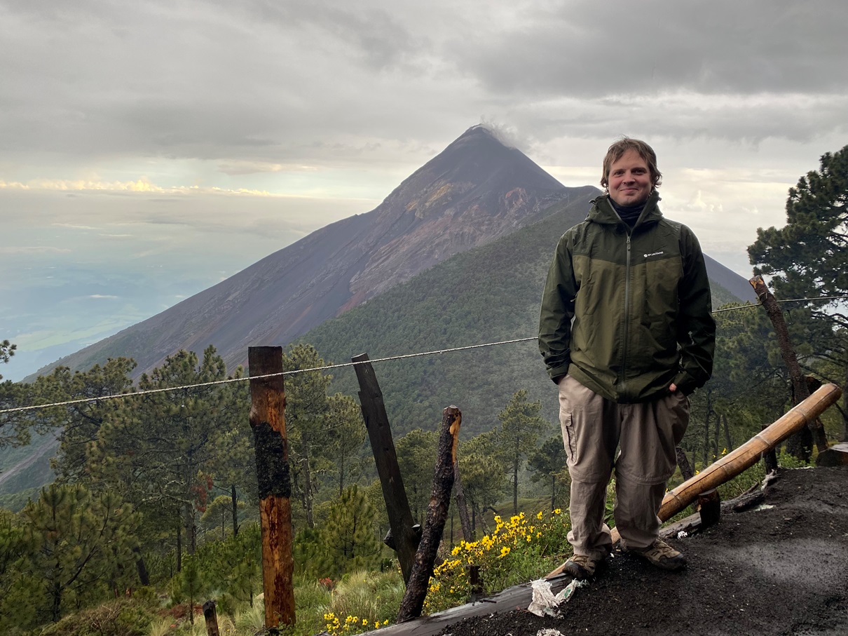
The fog did clear up a little as we neared CA Traveller’s base camp. It is on the side of Acatenango (a dormant volcano) but has a view of its ever-active twin, Fuego.

After settling into our tents and drinking a well-earned cup of hot chocolate, the guides told us about an additional hike we could make closer to Fuego if we wanted to. This was tempting, but I was tired, and the volcano wasn’t very active that day. A faint trail of smoke was almost constantly wafting from the crater, but not much else was going on, so there seemed little chance of seeing any lava fields up close.

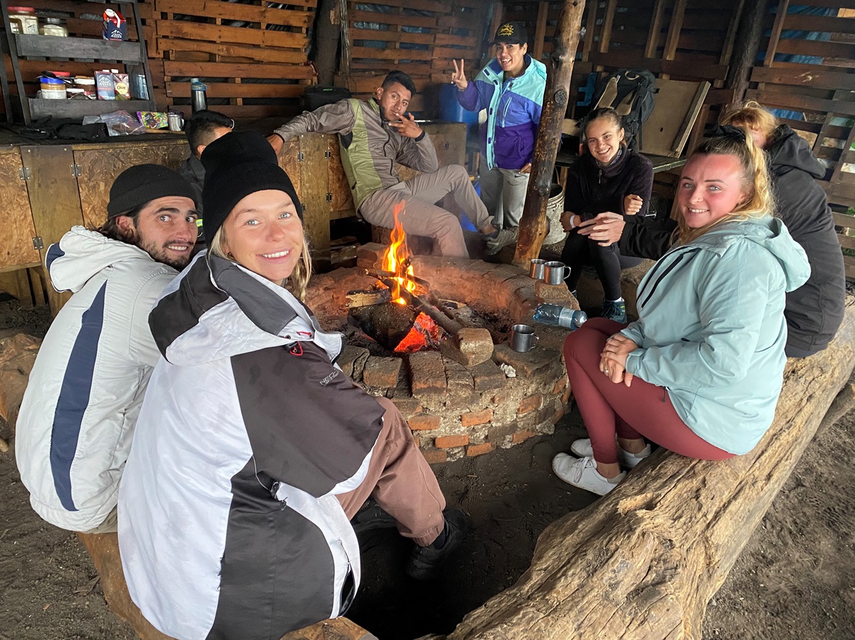
Also, just as I was contemplating – almost on cue – the clouds returned, and it began to rain. Out of the ten of us, only two hardy souls decided to attempt this extra hike, and they put on their bright yellow ponchos and headed out into the storm. I wished them well and decided to enjoy the view from the comfort of the base camp. The guides lit a fire, and we sat around it for warmth.

We kept looking towards Fuego, and at one point, we suddenly saw a belch of grey smoke between all the fog.

And then, over time, the air gradually cleared, and we could see the volcano again.

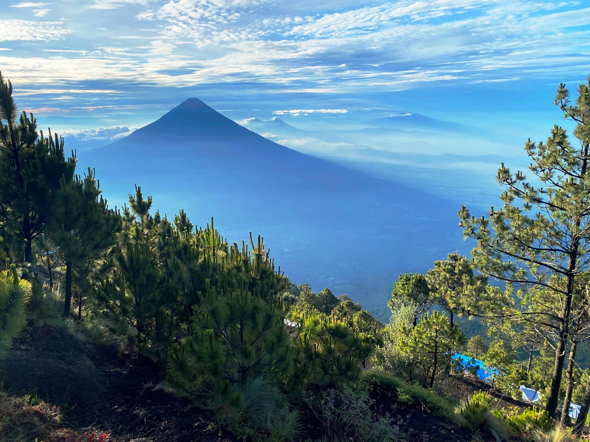
Eventually, we could even see the faint outlines of three yellow figures slowly climbing up the side. As more fog cleared, we got to appreciate more of the landscape. We could now see the outline of Agua – another dormant volcano that looms over Antigua – as well as other villages, mountains, and volcanoes.

After our companions returned from their excursion to Fuego, we all ate together, and then I retreated to my tent early to get some sleep. We were due to wake up at 3:30 the following morning to the summit of Atatenango in time for sunrise.

We were blessed with clear skies that morning and made our way up the trail by torchlight. We were only ascending another three hundred meters, but I was surprised by how out of breath I kept getting because of the altitude.

This is usually the point where bloggers like to show off their literary skills and descend into dense verbiage of flowery prose involving lots of superlatives and metaphors, but you have probably noticed by now that on this blog, I tend to let the pictures speak for themselves as to what places looked like and focus on giving you enough information about the experience.

Well, Acatenango is the highest peak for quite some distance, so the panorama from up here spans all directions. When you first reach the crater, you are on the side that looks down upon Fuego.

But then, as you make your way around the rim, you see other landscapes, including Agua, Pacaya, and many other peaks.  

At one point, our guide even pointed over to the distance – where the highlands faded into the clouds – and said that was where, on a clearer day, one can see the Pacific Ocean. 

And there was also the sunrise itself.

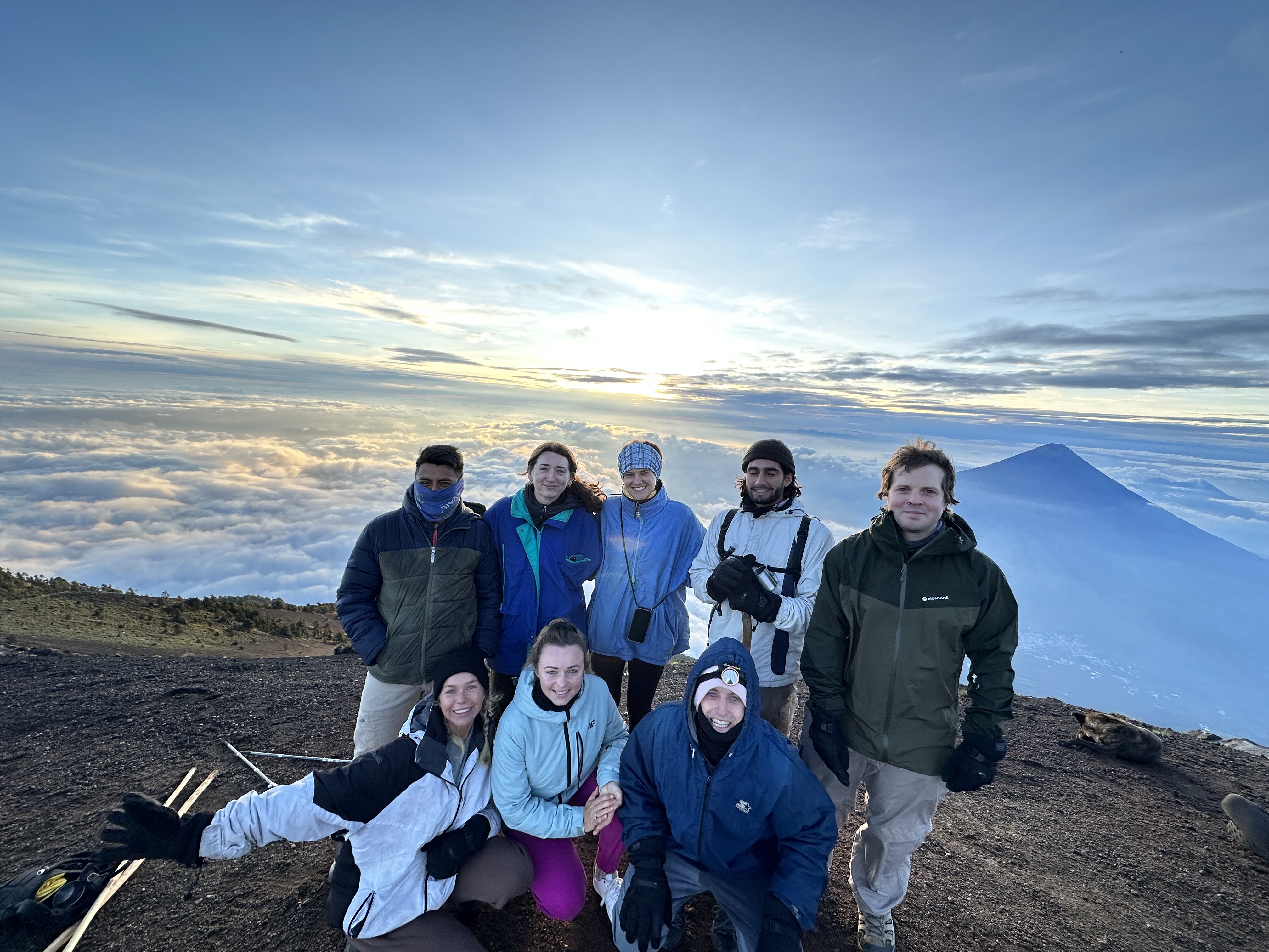
But, it was also very cold up there, so we couldn’t linger all too long. After taking a few group photos, we began to make our way down the eastern side.

This not only offered even more spectacular views but involved a lot of sliding down the volcanic soil, which was fun.

And then, after breakfast at camp, we packed our things and made our way back down the mountain. As usual, this was much faster and easier than the way up. By late morning we were back on the bus, and by lunchtime, we were back in Antigua.

Overall, I was very happy with my experience with CA Travelers. Going with them rather than off my own steam not only saved me from carrying all my camping gear up a volcano but also cut out a lot of hassle in terms of transport and providing food for myself. Their spot on the side of Acatenago has one of the best views, I met some great people, and it was nice to spend the evening sitting by a fire under a shelter with them (instead sitting on my own in my tent as the rain hammered it, as I would have done if I was by myself). 

They are also an ethical company that donates some of their profits to one of the local schools. Such schemes seem common in Guatemala, as children are only provided free lessons for the first six years, and many from poorer families don’t get to finish their education. This is a sad situation, but it is at least good to hear that some enterprises are trying to recover from the shortcomings of a weak government.

My next blog will involve an adventure with another socially-conscious enterprise. After I returned to Antigua, I came across a poster advertising a three-day trek through the highlands of Guatemala. This one was also very reasonably priced, and – after doing some research – I found out that the company is a non-profit run by volunteers and helps fund local schools. As I type this, I am currently waiting for my shuttle bus to Quetzaltanango.


Click on these hyperlinks for more photos from Antigua and Acatenango.


Travelblog LA#11: Barichara & The Chicamocha Canyon – Colombia

2nd – 6th June, 2023


I mentioned in my last blog that I travelled through Colombia quicker than intended and found myself with some time to spare. My flight from Bogota to Guatemala is booked for the 13th of June – giving me almost two weeks merely to explore Colombia’s capital – so I decided to look into other opportunities that could be found on the way there.

I opened up Google Maps on my phone, scanned the area between Santa Marta to Bogota, and I noticed that I had a place called Barichara bookmarked. It took me a while to remember how it had got there because it wasn’t a place I remembered reading about. I think it was either Mari and Tom – the Belgian couple I met during my first week in Colombia at Tierradentro – or Sergio – a friend of a friend I met at a soiree in Santiago – who recommended it to me.

After further reading, I discovered there was more than just Barichara this area had to offer. It was in the Chicamocha Canyon region: home to several other villages connected by a trail one can hike over two to three days. Perfect.

When I arrived in San Gil – the nearest town – I swiftly realised that this was primarily an adventure sports hub and that I, as a hiker, was a minority. The hostels here seem to all operate on the same model: lure people in with cheap rates for accommodation and then push a bunch of tours on them (which is where I suspect they make most of their money). Some of them were tempting, but they all ended up being beyond my interests, frugal budget, or fear of heights.

Despite this, the first hostel I stayed was still kind enough to agree to look after my big backpack for me, and the next day I caught a bus to Barichara with just a daypack full of the bare essentials.

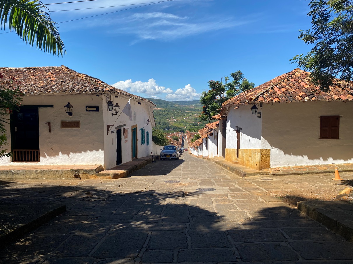
I spent some time exploring Barichara before beginning the hike. It was a lovely place. Not just for its architecture and old churches, but also the vistas that can be seen from the western side, overlooking the Suarez Valley.
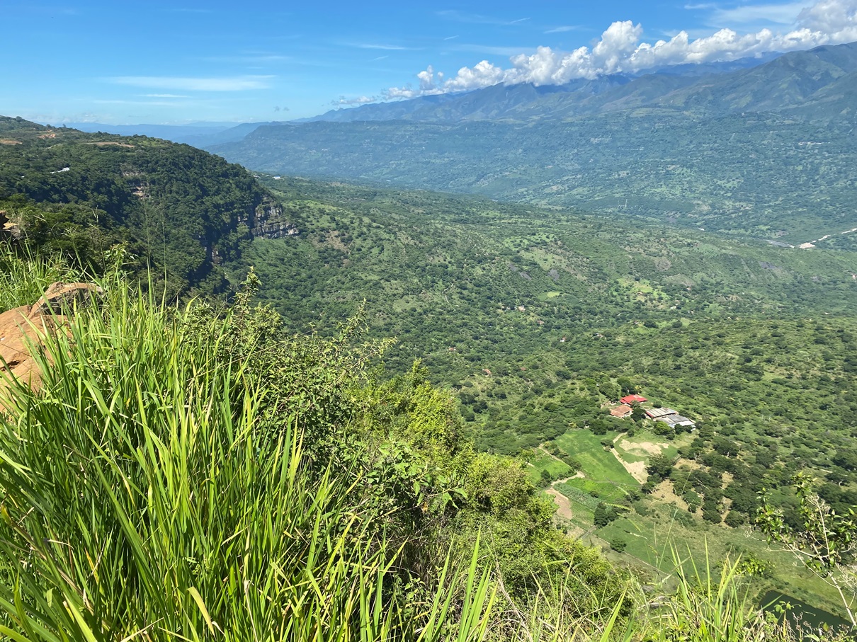
And this isn’t even the main vein of the Chicamocha Canyon (that is to come on the second day of this trek).

I was surprised by the quality of the trail too. It was an old cobbled road – some of it even lined with walls – and I passed some abandoned homes and farmsteads along the way.

The views were stunning throughout.

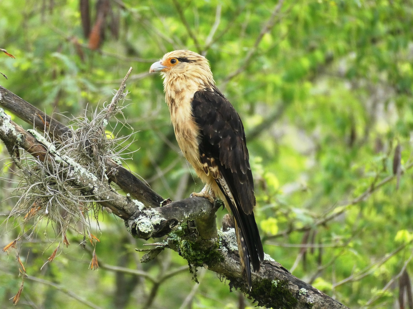
And it was surprisingly good for birdlife too. Many were flighty, but I managed to capture some with my digital camera.

It took me about two hours to reach Guane. Not as many people come to this place, but it is just as picturesque – if not more – as Barichara and the villagers seem very welcoming to the ones who do.

I passed by a shop where a woman sold homemade creamy liquors made from goat’s milk called ‘buratá’, and bought some. There was also another mirador overlooking the valley, and I stopped there for a while, ate lunch and hydrated myself whilst waiting for the midday sun to pass.

And then, after a quick walk through the plaza, I made my way along the next part of this trek: the trail to Villanueva.

Whereas most of the walk to Guane had been a gentle slope downhill, this was uphill. It wasn’t too steep, but it being the afternoon meant that it was hotter. I passed many more farmsteads along the way (but most were still inhabited).

And when I reached the top, I found myself looking down on Villanueva.

Despite being a much newer town than Barichara and Guane, I found it quite charming. I got myself a room at Hostel San Juan – which was very reasonably priced – and went to have dinner before getting an early night’s sleep.

Knowing I had a long day ahead, I rose early the following morning and ate a few breakfast bars before heading back along the trail again.

It took me an hour or so to reach the actual canyon. Before that, it was more farmsteads along a dirt track road. I was quite blessed with the weather; in the morning, it was overcast, so the air was cool. I had heard that one of the main enemies of this trek – like many in Colombia – is the sun and heat.

I was, however, a little worried that all these clouds would obscure the view of the canyon, but they cleared up a little when I reached the first mirador.

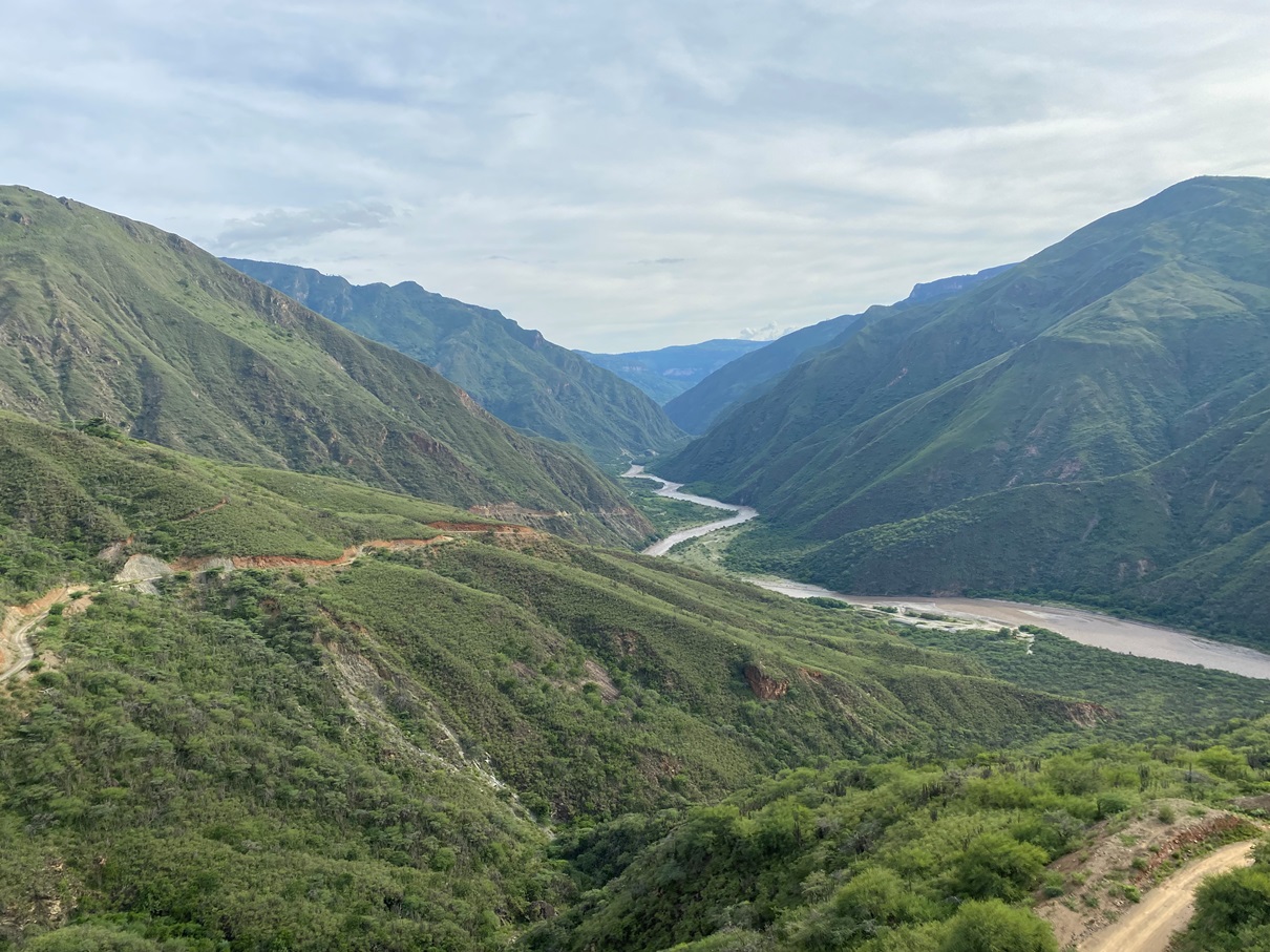
As I made my way down, the fog continued to waft across the canyon, occasionally clearing up just enough for me to appreciate the view and take some photos.

The fog was also a blessing when I reached the knife-edge part of the trail, as it eased vertigo I usually feel during such moments.

By the time I had reached the bottom, the mist had cleared completely, and I stopped at the village of Jordán to eat a snack and hydrate myself but didn’t linger for too long. It was 10:30 am, and I still needed to hike out of the canyon. I wanted to get as far as possible before the midday heat hit.

I had read online that this trail back up the canyon is not too steep and… that is sort of true. I have certainly done much worse. The Colca Canyon in Peru comes to mind as one that was far tougher. The trail is yet another cobbled road, and it has plenty of shelters along the way where one can rest in the shade (whilst enjoying the view).

But, despite this, you are still essentially climbing an elevation of almost a thousand meters in just a few hours, and I greatly underestimated the toll this would take on me. Most people rest in Jordán overnight and hike this in the morning, whereas I was doing it at midday – after just spending four hours climbing down the canyon, no less. I had to take many rests along the way, and I was glad I brought plenty of water.

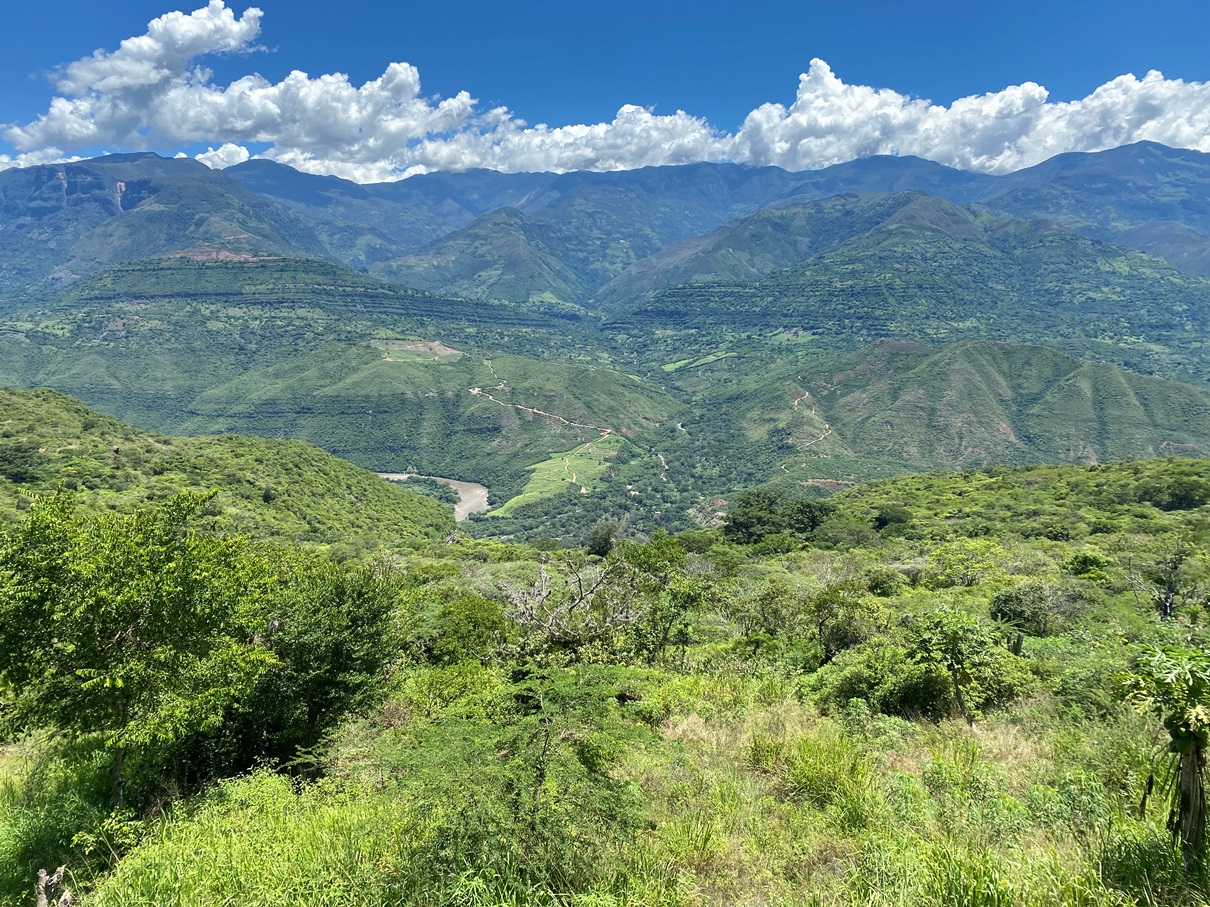
Once someone reaches the village of Los Santos at the top of the canyon, there are two options for getting back to San Gil; either by catching a very slow bus to Piedecuesta (which has connections to San Gil) or taking a shortcut through a cable car system several miles away. I chose the latter option – as I wanted to take the more scenic route – but the logistics of this were frustrating. There is (puzzlingly) very little public transport, and the locals I asked sent me on a bit of a wild goose chase to a series of places they thought might have colectivos but ultimately didn’t. In the end, I had to catch a mototaxi.

The cable car, however – when I did reach it – was one of the best I have ever been on. I got to descend into a whole other part of the canyon and back out again (but this time whilst sitting back and watching it all go by).

After this, I returned to San Gil and relaxed for a couple of days before heading to Bogotá.

Overall, I am very glad I came here and I am also greatly surprised that somewhere not even on my radar ended up being a highlight of Colombia. The San Gil area is certainly on the backpacker circuit as a place for adventure sports but not very well known for hiking. I know many other people have done it (because there are guides online, and the route is on Maps.me) but it doesn’t seem to be as popular as it should be. I had the trail to myself for the entire two days and didn’t come across another gringo.


If you would like to see more (stunning) photos of this area, click here.