5th – 8th July, 2023
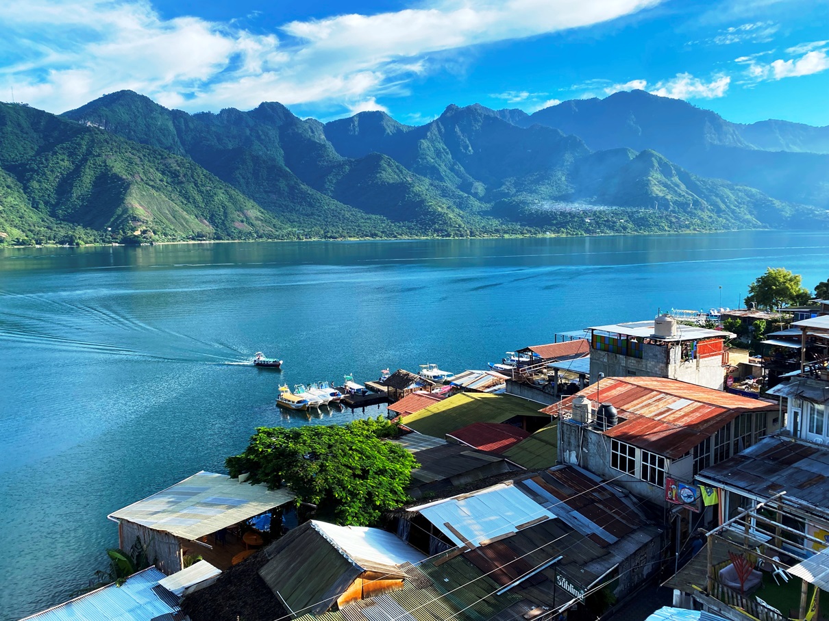
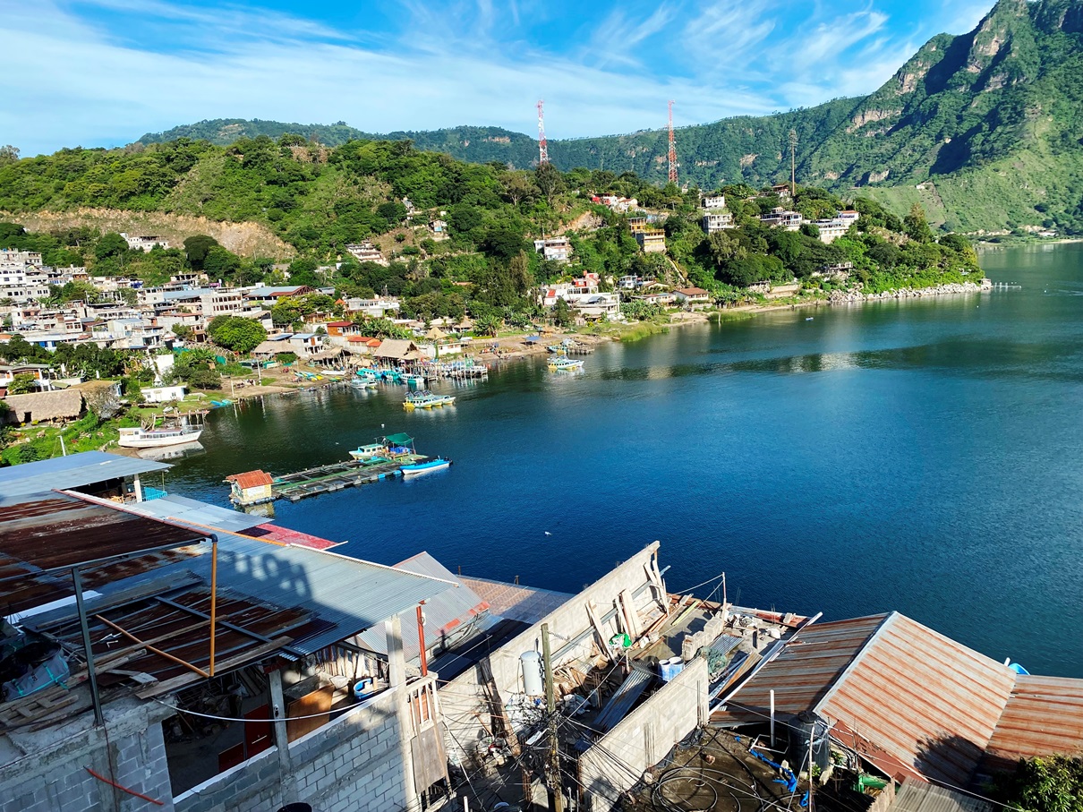
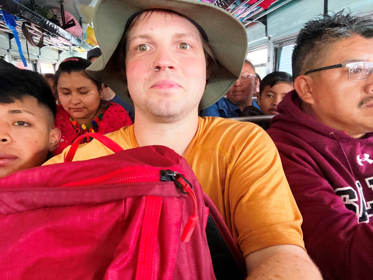
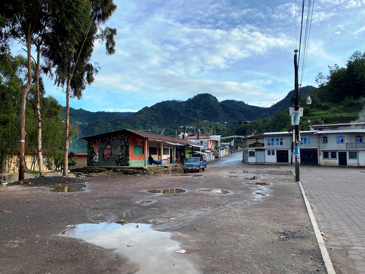
Getting to the north of Guatemala from Lake Atitlan is a long journey. First, I had to catch a shuttle bus from Panajachel to a bus station in Guatemala City. From there, several night buses leave each evening, but none have functioning websites so I had to turn up early to ensure I got a seat. It is possible to make reservations on the phone, but if your Spanish is not fluent, this will be almost impossible as the people on the other side talk very fast.
I hoped that by turning up at the station early I would have a chance of getting one of their more comfortable ‘luxo’ seats on the first floor – perfect if you are travelling solo, as you can get one of the solo seats on the right-hand side – but those were all sold out, and even the second-floor seats were rapidly disappearing so I snatched one leaving at 8 pm. The bus station was a bit of a dive, which made me nervous about what the bus would look like, but it wasn’t too bad. I found myself sitting amongst a family who was friendly enough, the air conditioning worked, and my seat reclined just enough for me to get a bit of sleep before I found myself woken up at 5 am in Santa Elena.

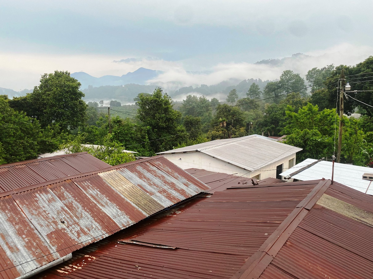
It was only a twenty-five-minute walk from there to Flores, a small island on Lake Petén Itzá. It was understandably too early for me to check in to my hostel, so I left my bags there and decided to visit one of the attractions nearby. Actun Kan Caves.
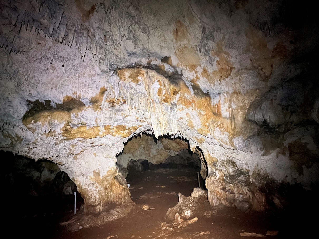
Most tourists who come to this area stay here for two nights, book a tour to Tikal – its most famous ruins – and then leave, but I think they are missing out as there are other reasons to stay, and these caves are one of them. The admission cost was cheap and included a helmet fitted with a head torch. There are lots of caverns to explore, but the place is well signposted – a good thing as I can see how someone could easily get lost in here – and it is also home to many bats.

After that, I took things easy that first day. There were a few reasons for this. I was tired after my journey, and after several weeks in the highlands I was back in a tropical region again and had to acclimatise to the heat. I also had some work to do as my publisher had just sent me the first round of edits for Blood War – the third instalment of my Avatars of Ruin series – which is due to be published early next year, so I will be travelling a bit slower for a while.

On my second day in Flores, I went out for a while and caught a boat to a village called San Miguel on the opposite side of the lake. The nearby peninsular is home to some trails and a mirador overlooking the area.

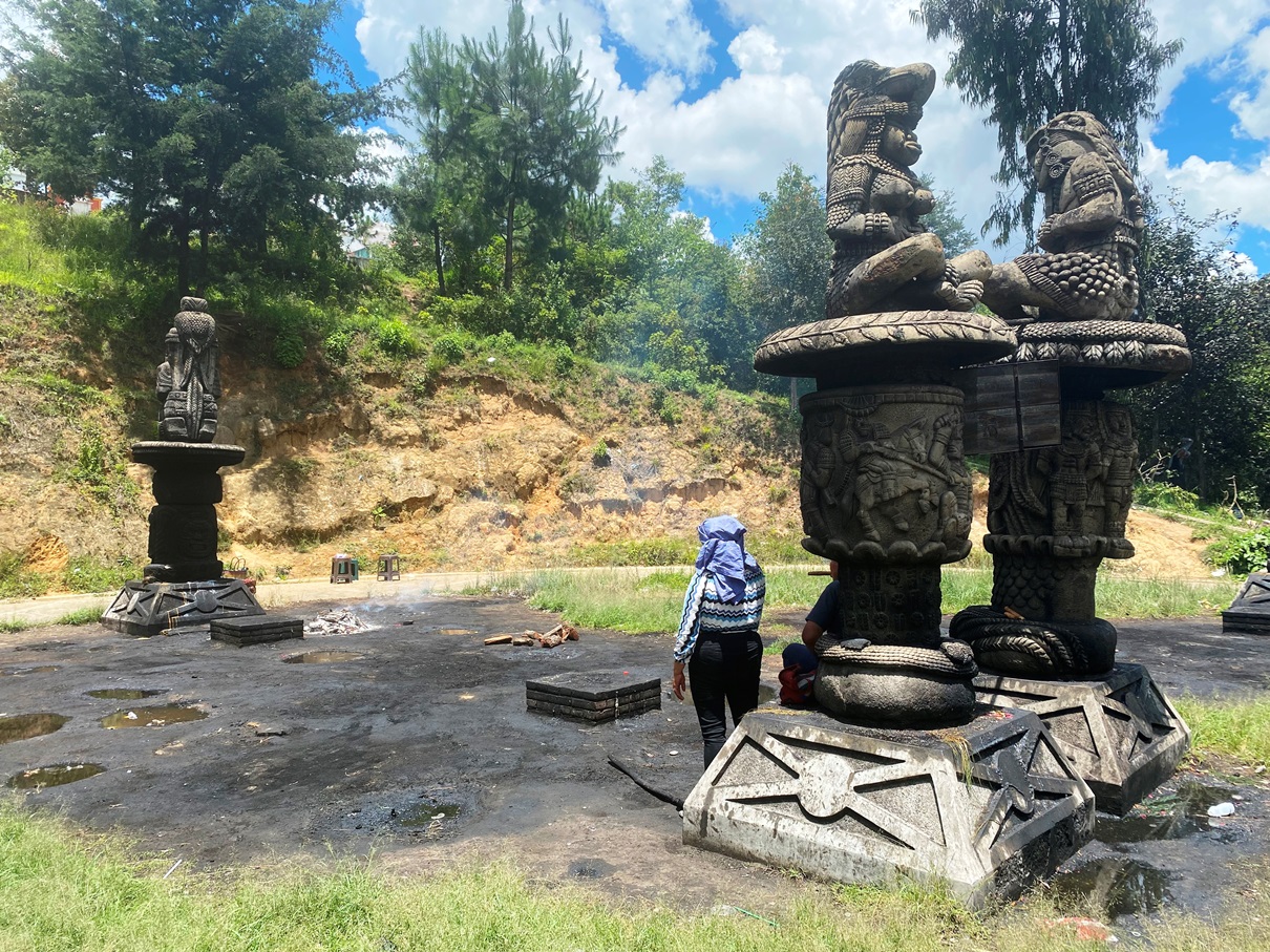
There is also a Mayan site here called Tayazal. It is not very well known because most remains are still buried beneath the jungle, but you can see the signs from all the artificial mounds dotted about the place. I think the local authorities have plans concerning this area because I came across an excavation site and an incomplete boardwalk. It seems a place to watch over the coming years.

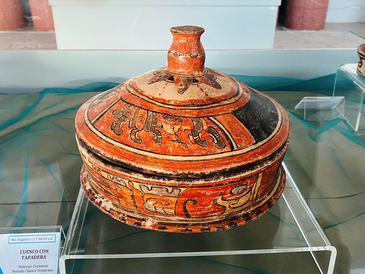
San Miguel is also home to a museum of Mayan artefacts. The place does look like it could do with more attention – as it is currently a bit short on displays and in a state of disrepair – but it is free, and the staff are friendly. I was its only visitor, and the attendant was very talkative and open to questions; it was almost like getting a free tour.
By my third day, I decided it was time to start exploring some of the Mayan ruins this area is known for, but with the weekend approaching I didn’t want to go anywhere near Tikal – as I knew it would be busy – so I instead went to the less explored Yaxha.

These ruins are on the shore of a lake with the same name, close to the Belize border. There are currently no transport options, so unless you have a vehicle your only option is to go on a tour. Luckily, these are reasonably priced and include a guide.

When I arrived, the guide told us about an optional trip to see a set of smaller ruins on an island in the middle of the lake; news somewhat sprung upon me, so I didn’t have much time to make an informed decision. I decided to give it a miss. It was a bit pricey, and I liked the idea of having some extra time to explore the main site of Yaxha by myself. After the others returned, I did speak to some of them, and it sounded like the journey across the lake was quite enjoyable, but the ruins on the island weren’t much to write home about. I don’t think there is a wrong or right choice when it comes to this, but I am personally happy with the decision I made.
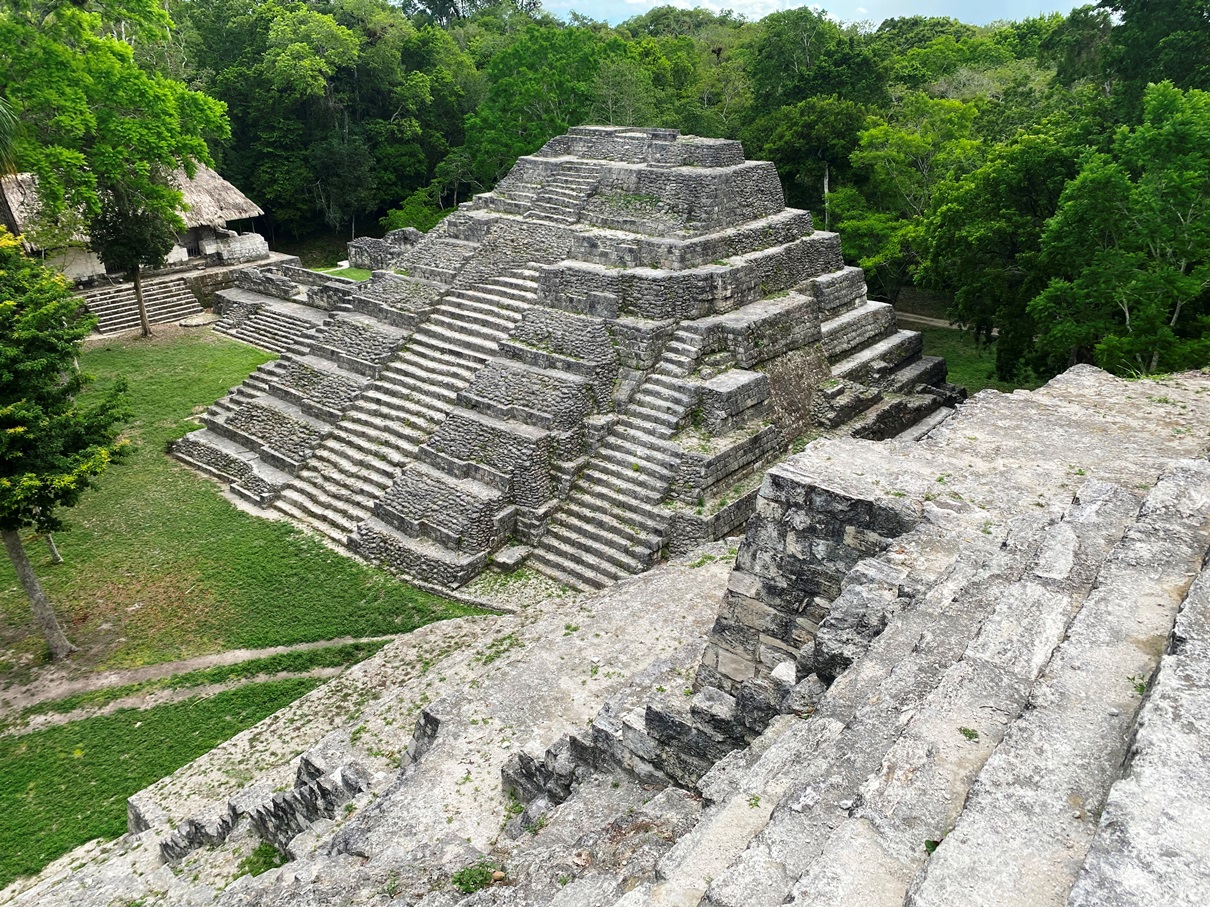
I didn’t know what to expect from Yazha, but it was a surprisingly extensive network of acropolises, plazas, and pyramids dotted through a jungle teeming with primates – mostly noisy howler monkeys but also some spider monkeys too – which only added to the atmosphere.

There are several pyramids that you are allowed to climb, which makes for some great views.

We also passed by the court where the famous Mayan ballgame was played. Almost all large Mayan sites have these, but – like much to do with the Maya – some of the details of this game are a mystery. It is believed that the players were only allowed to touch the ball with their hips and shoulders, and there was a strong ritual aspect. I do not have the authority to weigh in with my opinion on this, but there seems to have almost certainly been some form of sacrifice made at the end of the game, and it was the winners – rather than the losers – that were the offering. What kind of form this ‘sacrifice’ took is still debated among historians, but my guide seemed to believe that it was one of blood (or expendable body parts such as ears and noses), so the players got to live afterwards.

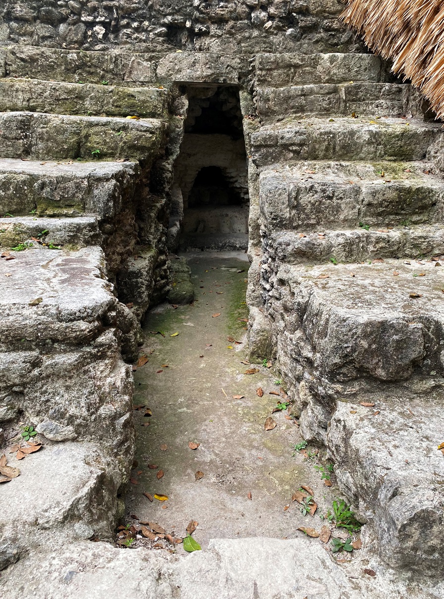
One of the most intriguing things my guide revealed during the tour was that this little hollow is the oldest known part of the complex. This site was in use for thousands of years – from the pre-Classic to the late-classic – and many Mayan pyramids have hidden layers because they often build over them again and again throughout the generations.
Our tour ended with us climbing Yaxha’s tallest pyramid, from which one can watch the sun setting over the lake. It was cloudy that evening, but we got to see some nice colours ignite the horizon as well as some birds.

Overall, if this is one of the lesser-known Mayan sites, then I think I have a very rewarding few weeks ahead of me, and I am excited to see more.
Click on the hyperlinks for more photos from Flores and Yazha.